Automated masterplanning
Masterplanning.
On fast forward.
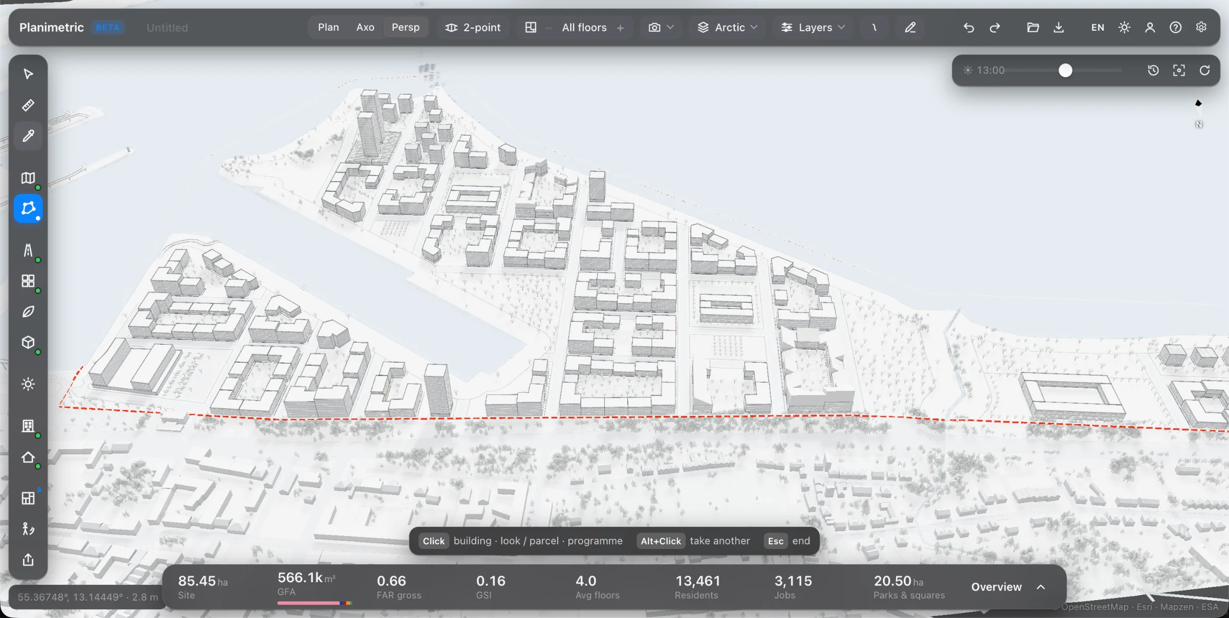
Generate complete masterplans in minutes. Automate street networks, urban blocks, buildings, and public realm — from the first layout to a detailed urban model.
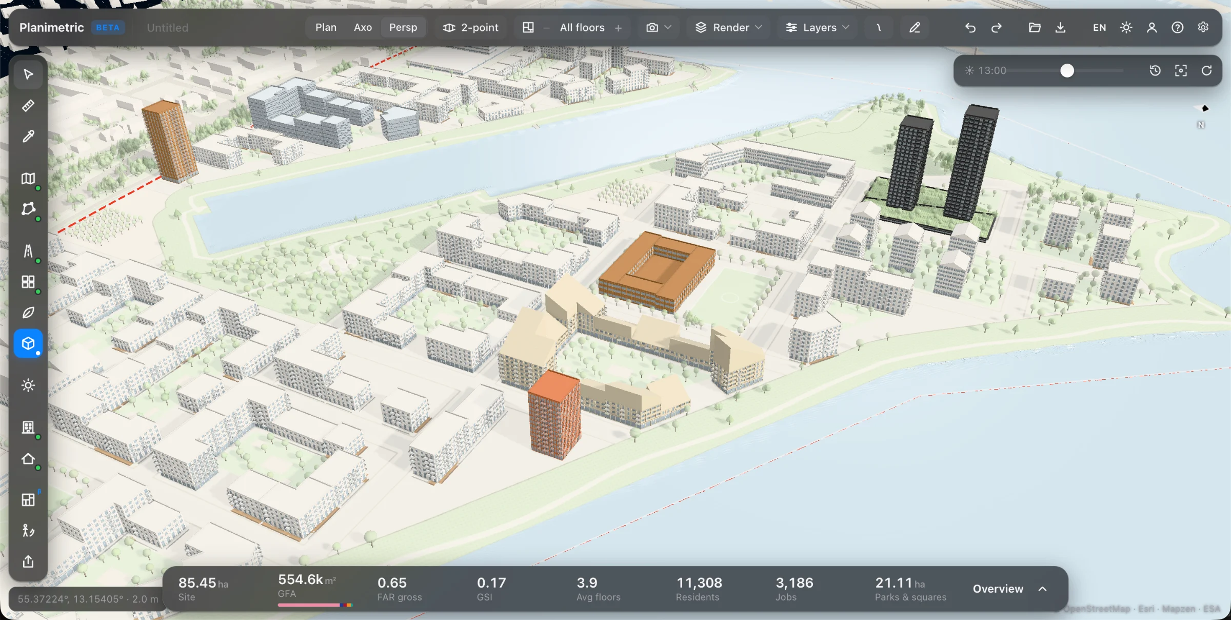
A data-rich model
Not just a picture. A living urban model.
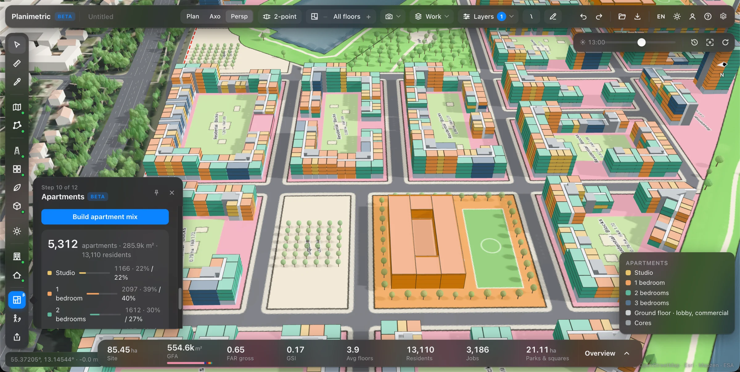
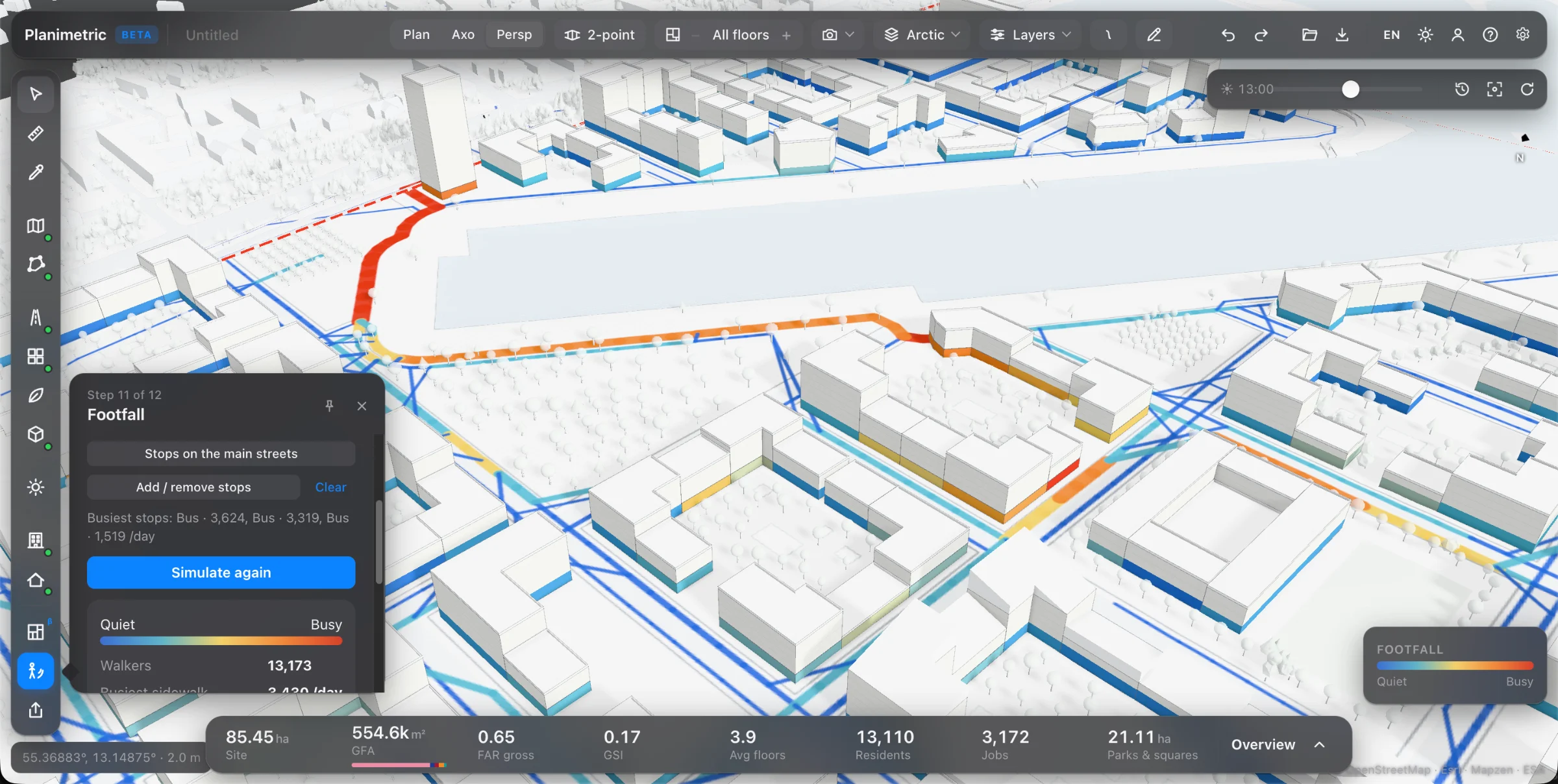
Go beyond geometry with a fully structured masterplan — from land use and building parameters to individual apartments, parking, and public spaces. Explore project data, run analyses, and see metrics update as your design evolves.
Site metrics update as you edit. Apartments, sunlight and footfall recalculate when you run them.
Design control
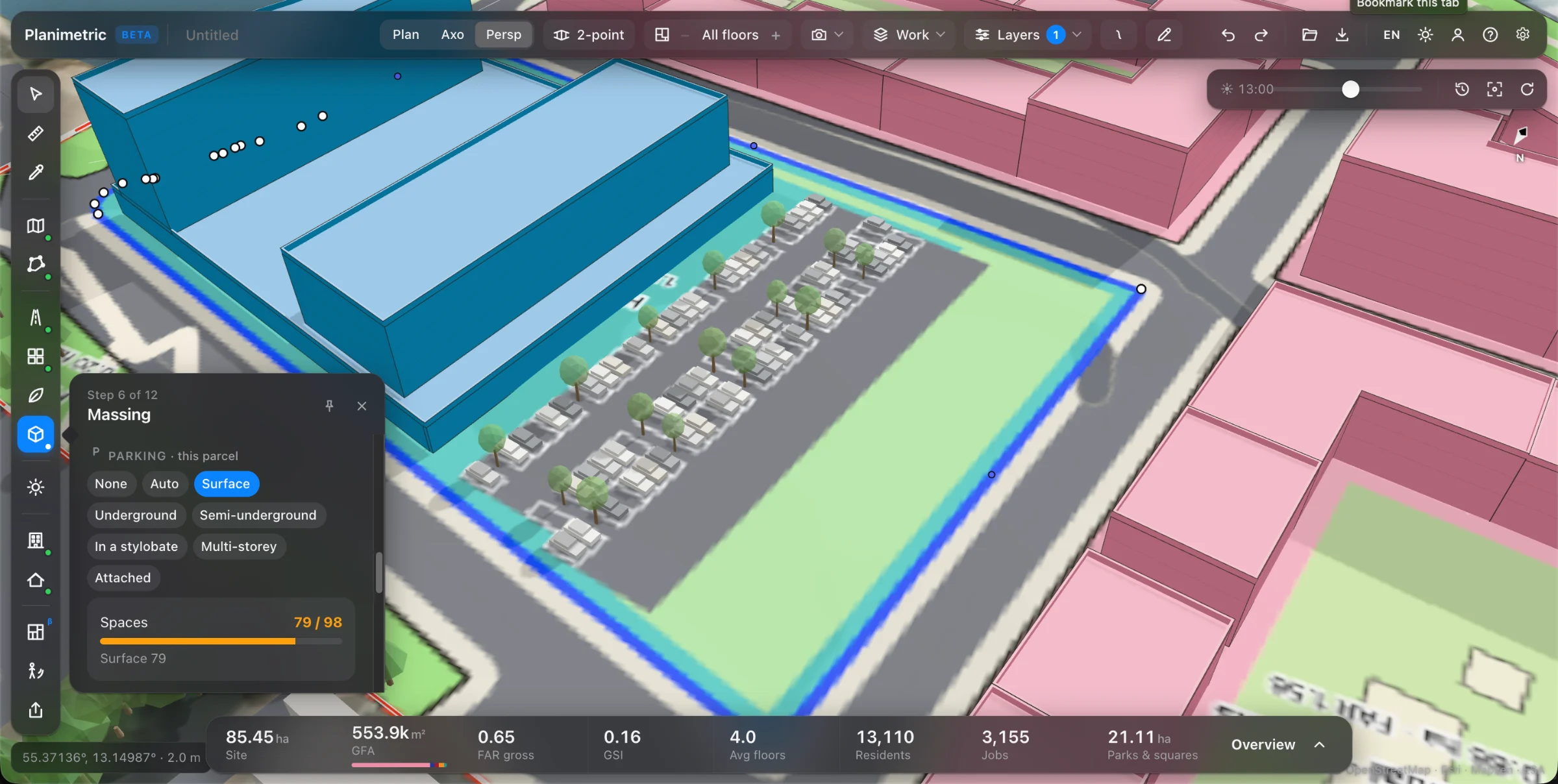
Your design. Your rules.
Start with automation, then take full control. Adjust streets, reshape blocks, customize building typologies, and fine-tune individual buildings — using parametric tools or manual editing.
Graphics & presentation
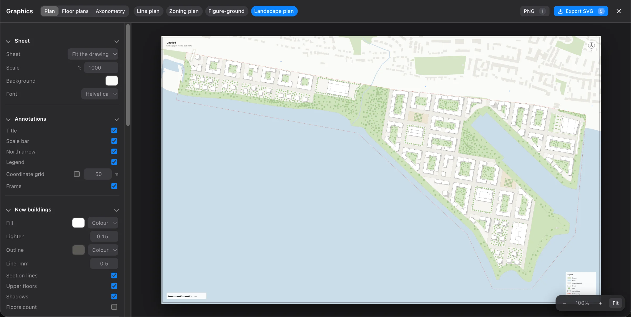
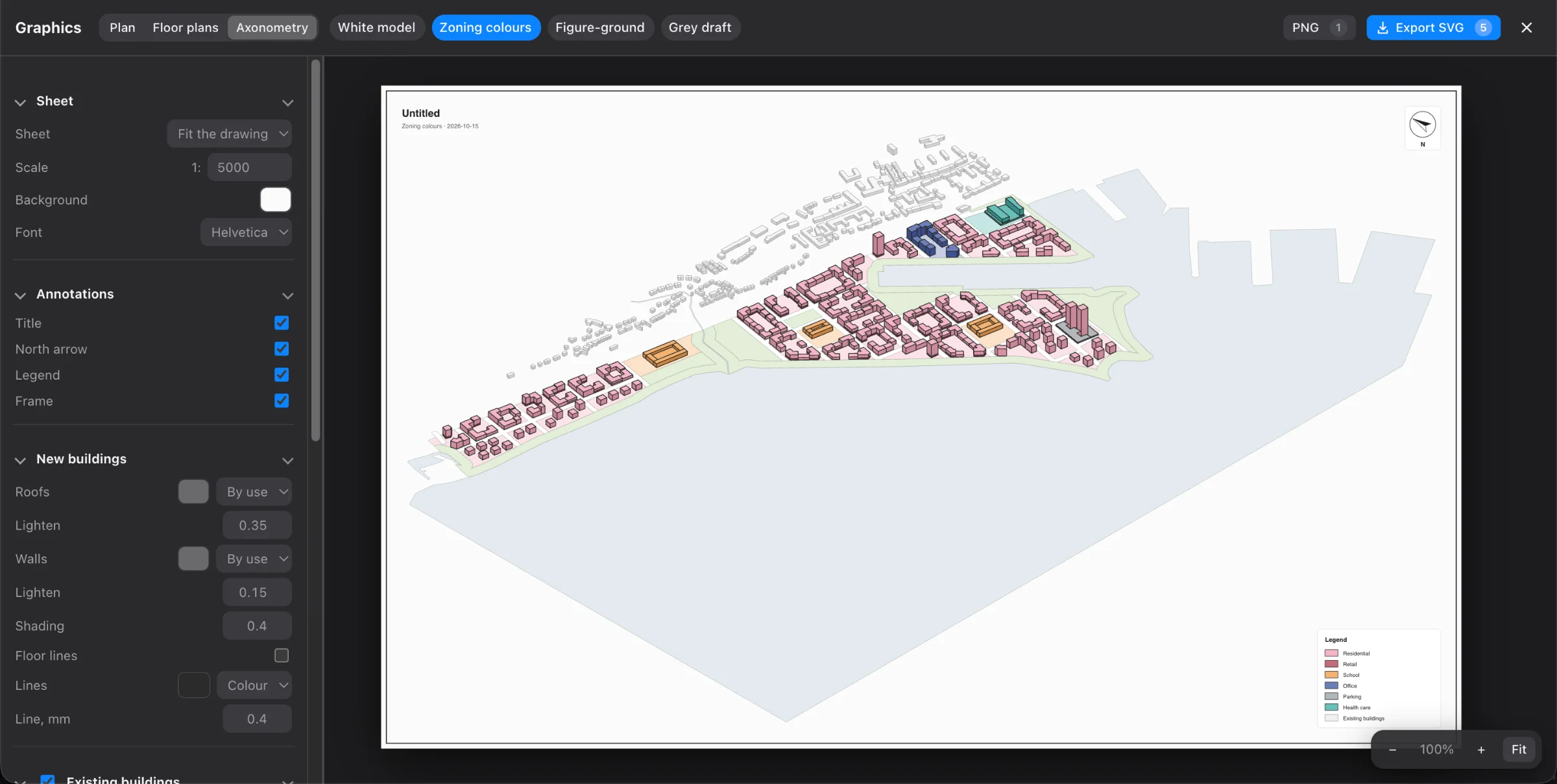
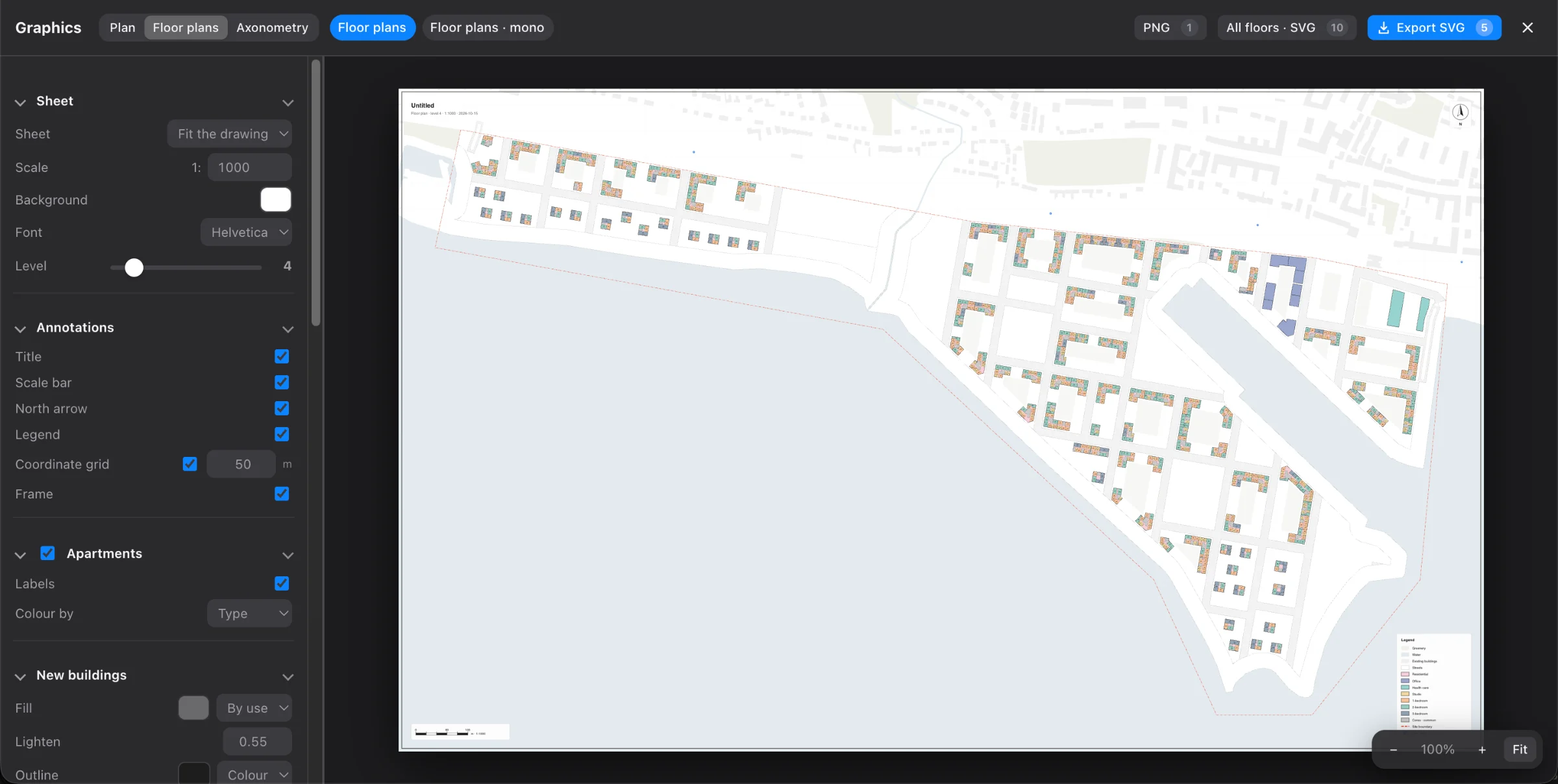
Make every plan your own.
Customize façades, architectural styles, colors, and graphic settings. Create distinctive masterplan presentations and export drawings with the project layers and information you need.
Export & compatibility
Your work. Any workflow.
Export 3D models, CAD drawings, GIS data, presentation graphics, and project metrics — ready for the tools you already use.
Models and design software
- SketchUpvia DAE
- Revitvia IFC
- ArchiCADvia IFC
- Rhino3DM
- GLB
- OBJ
CAD and drawings
- DXFplan, 3D
- SVGlayered
- PNG
GIS
- GeoJSON
- KML
Metrics
- ExcelKPI
Flexible pricing
Design freely. Pay when you export.
Explore design ideas, test alternatives, and refine your masterplan without paying for every iteration. When you’re ready to export, pay with credits or subscribe.
Free, with credits
$0+ credits when you need them
Plan for free and buy credits only for what you download.
Start planning- Planning, 3D and analysesfree
- New projects1 a month free, then 1 credit each
- Context area5 km² free, then 4 credits per 5 km²
- PNG with a watermarkfree
- Other downloads1–10 credits each
- Credit packs10 for $5, up to 200 for $50
Pro
$15/ month
One monthly price for unlimited projects and every download.
Subscribe- Planning, 3D and analysesincluded
- New projectsunlimited
- Context area5 km² free, then 4 credits per 5 km²
- Downloadsevery format included
- Billingmonthly, cancel any time
- Launch pricemay rise later, yours stays while active
Ultra
Coming soon
A bigger plan is on its way.
No upfront commitment: all you need to start is a free account. Credits never expire. See every price